To be asked to write about my work with AfrikaBurn feels like a distinct luxury. Not because the work is glamorous, although occasionally a map at sunset does feel like a small miracle, but because a map with a legend, or map index, can turn a labyrinth of lines, points and polygons into something useful. Poly-what? Poly put the kettle on. Otherwise known as regions, and no doubt this kettle has the potential to brew a fine tea.
For me, the work I do sits at the convergence of many things I care about: land, people, service, planning, creativity, and the quiet infrastructure that helps a temporary town to breathe. My own work has always been shaped by spatial pattern-seeking. Or perhaps the pattern was always there, and I am simply the puppet in a larger play. Fireside conversations indeed. As a spatial practitioner and dharmic, or righteous and sustainable, business builder, I often find myself asking where the invisible meets the visible. In the stars? In the magma? In the meeting point between granite, sandstone, memory and movement?
Somewhere in this is also my relationship with the fringe space between sacred geometry and cymatics. Not as shimmering framed objects placed neatly on an altar, but as patterns held in the intangible space between things: the invisible nodes of synchronicity, the crossings of people and place, and the signs and symbols that appear on a map and somehow point beyond the map itself. Perhaps that is where the map lives: in the intangible connectedness.
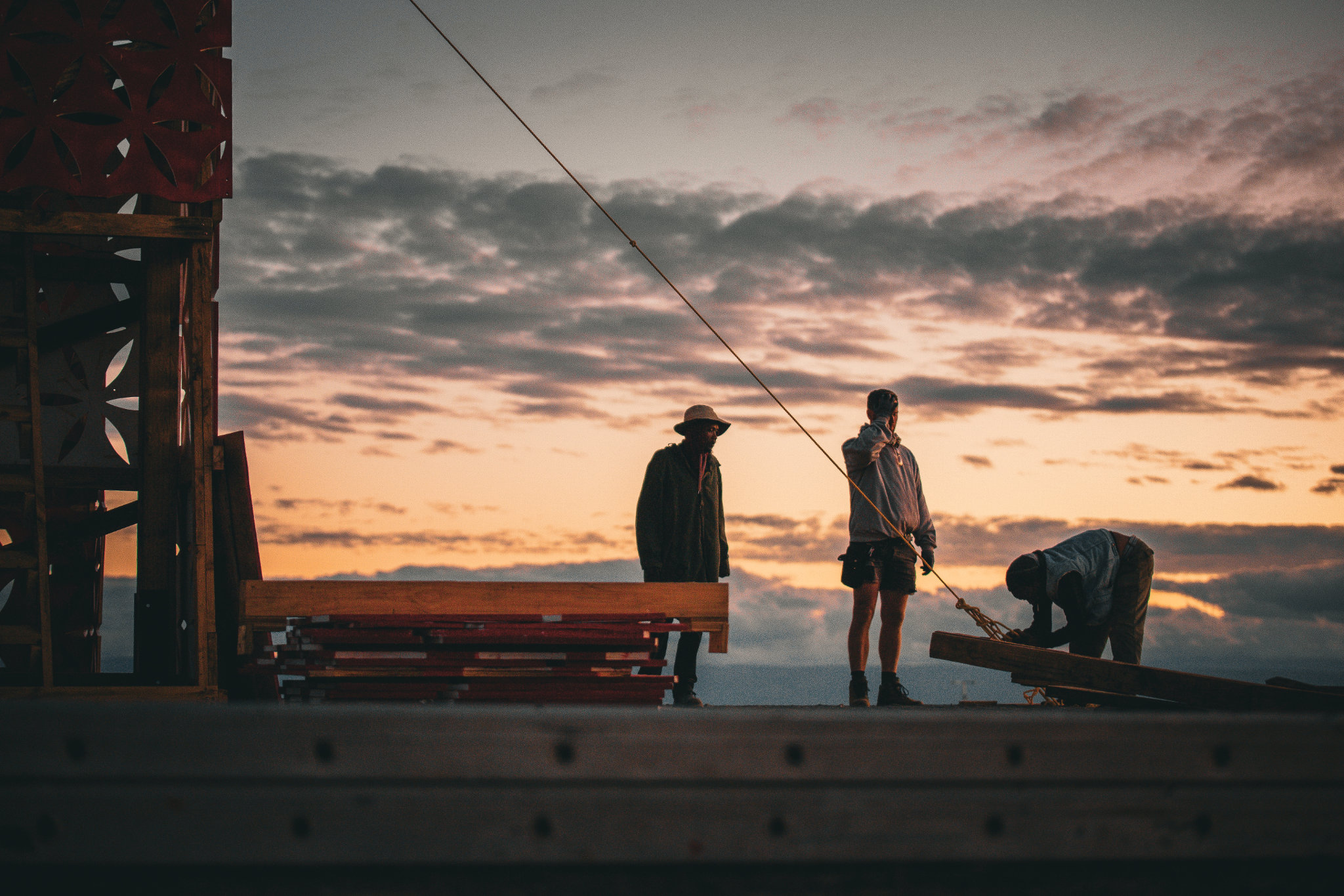
Tankwa Town is not only roads, camps and infrastructure. It is a living system. A person’s innate gift, inherited through generations, may appear as a generous offering through a theme camp, an artwork that leaves you speechless, a mutant vehicle seemingly defying gravity, a dune protected by floating luminous fish, or a well-placed toilet. At some point, the map becomes less about navigation and more about the relationship: between space, place, and people’s offerings into this beautiful orchestration of humans at their challenged best.
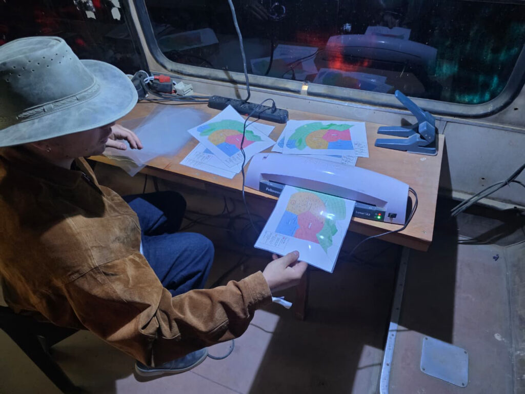
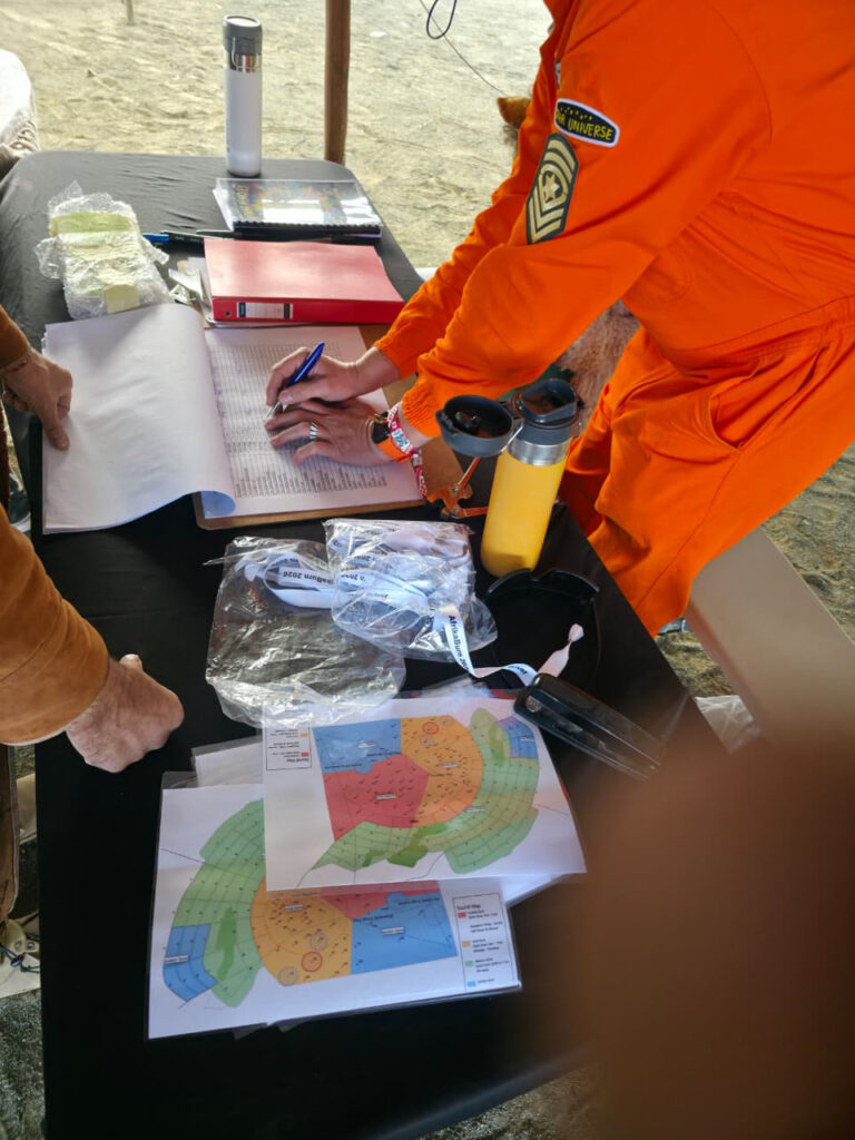
Some elders can walk the streets with no map at all, holding the centre point through memory, string, tuning fork, and repeated footsteps, an experience to cherish. AfrikaBurn has, up to now, held much of this knowledge in a very effective traditional town-planning toolbox: hardcopy maps, documents, transparencies, GPS points, lived memory, institutional knowledge, and the Lego-like pieces of shifting town centres. All of this existed long before the fanciness of a Geographic Information System (GIS), which, at its simplest, is just spreadsheets threaded through points, lines and polygons.
The GIS work has been made possible through a careful mix of internal trust and leadership from the current Town Planner (Roger Van Wyk), participant-led effort, and support from South African geospatial specialists, including AfriGIS, whose CSI and ESD contributions have helped keep the pilot accessible while strengthening the technical foundation.
This year’s theme, Through The Prism, feels deeply aligned with this work. A prism does not create light. It reveals what is already inside it. In the same way, a digital map does not replace the magic of Tankwa Town. It refracts it into useful layers: safety, movement, operations, participation, environmental care and post-event learning.
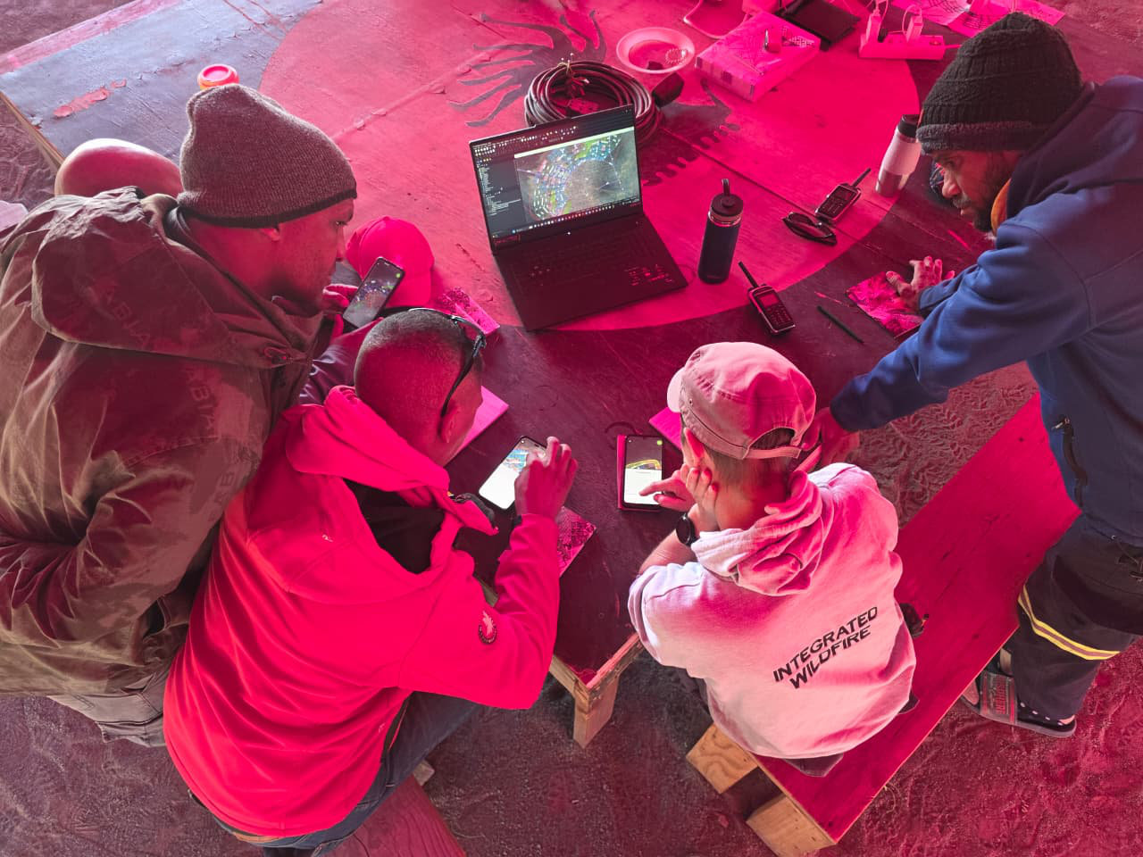
During the 2026 pilot phase, we tested an offline mobile GIS workflow. The aim was never to replace radio, hardcopy maps or the human intelligence of teams on the ground. The experiment was to see whether existing crew with deep institutional knowledge would find value in the tool, and perhaps more importantly, whether newer crew, with little to no innate knowledge of the site, could use it to orient themselves more quickly and confidently.
It is rather treacherous to consider navigating through thousands of people with no clear sense of how to get to your destination, or spending precious time fumbling with a hardcopy map in a moment that requires focus. A mobile map, with offline layers and GPS positioning, seems like a plausible method to adopt in this day and age. Not as a shiny replacement for existing methods, but as another layer in the response toolkit.
The workflow we wanted to test was practical: radio call, hardcopy map, mobile GIS, route planning, movement across the site, destination reached. The question now is simple: did the tool help reduce response time in a potential incident scenario? Could similar methods used in other disaster management and event response settings help us refine how AfrikaBurn responds to urgent location-based needs?
This matters because a map, at its best, is not a control device. It is a shared language. AfrikaBurn is not simply a festival. It is a participant-created town guided by principles such as Radical Inclusion, Gifting, Decommodification, Communal Effort, Civic Responsibility, Leaving No Trace, Participation, Immediacy, Radical Self-Reliance, Radical Self-Expression and Each One Teach One. Good spatial planning should serve those principles, not flatten them.
There is useful precedent in the wider Burning Man ecosystem, where field mapping tools help streamline operations before, during and after the event. For AfrikaBurn, this is not something to copy blindly, but a useful reference point. With South African geospatial specialists supporting the build, we can shape a GIS model rooted in local land, local and international standards, local wisdom, and institutional knowledge.
Who knows? With a data-driven, proven GIS, the organisation could help other African countries host a Burn. Wouldn’t that be something for future generations to look forward to?
This year, we also turned the notch up in very practical ways. Pre-event, the GIS assisted theme camp planning through desktop tools and processes, reducing time and improving mapping clarity. We supported DPW in capturing information and synchronising traditional planning tools with the GIS. We helped guide art placement and enabled art directors to locate sites more efficiently before the event. We provided source vector data to the design team for the participant map. We also trained crew and contractors from various units, including Fire, Safety, Sanctuary, VOC, Medics and Rangers, on how to use the mobile tool.
Now comes the next fun part: assessing the results of the hypothesis and using feedback from users during the event to streamline what happens next year. This work is both technical and devotional. It asks how we move better, respond faster, plan smarter, and leave the land better than we found it. It turns data into care.
Through the prism, Tankwa Town is not one thing. It is art, dust, logistics, ecology, memory, community and motion. A map simply helps us see the spectrum.
Kshetra Govindasamy, 28 May 2026